9 Arches in Devil's Garden
Note: This hike is in Arches National Park. A general rule of thumb is to enter National Parks before normal business hours to avoid crowds and entry permits. If this doesn't matter to you then you can get an entry permit here.
Devil’s Garden is the most popular hike in Arches National Park. This is likely because it offers the most arches, varying terrain, spectacular viewpoints, and is long enough for a day hike if you include the Primitive Trail (roughly 7-8 Miles). Though this hike has a few technical parts and an “airy” moment or two (a couple of which were before the Primitive Trail began), we handled it well and would rate it moderate overall. *Make sure you have a map downloaded to your phone to follow the trail. While there are a few nicely placed signs, there were several times where we felt confused as to which way to go and had to use a map to figure it out.
After researching Arches National Park, we decided to skip applying for an entry permit and head into the park early to avoid crowds. We arrived at the entrance around 6AM with a half dozen cars behind us and made it to the trailhead about a half hour later. There’s a large parking lot and spaces big enough to fit our dually easily which is unusual for most parks we’ve been too. There are four restrooms available just before the trail begins.
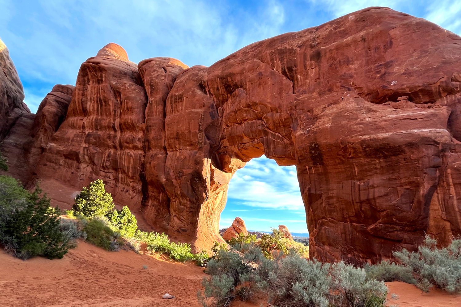
The first part of the hike is easily accessible with a nice flat path. The path branches off early on towards (1)Pine Tree Arch and (2)Tunnel Arch. We made our way to these first, only passing a couple of people at each.
After snapping a few quick pictures, we made out way back toward the main trail towards Landscape Arch. Just before this arch the trail splits. Here lies the big question. Do you go clockwise (left) or counter-clockwise (right)? We read reviews and watched videos on opinions from both sides. Ultimately, we decided to go clockwise and it was the right call! We passed 30-40 people during the entire trail loop leading back to this point (roughly 6 Miles). From this point back to the parking lot (1 Mile), we passed 200 people! Since our goal is to avoid crowds this was crucial in how the hike affected us. OK, back to the trail…
(3) Landscape Arch is the largest stone arch in North America at 306 feet. In September 1991, 180 tons of rock collapsed from the arch after what is believed to have been added weight from 10 days of heavy rainfall setting into its cracks. Since this event, visitors can no longer hike right up to the trail and have to enjoy the view from a distance for safety.
Just after Landscape Arch the trail changes and becomes more difficult. There’s a stone slab with a steep slope where you need to either scramble up it or squeeze through a small crevice on it’s left side to get up. This is one of the more difficult parts of the trail and it is before the Primitive Trail begins. After scrambling, turn around and take a look at the view behind you at the impressive rock structures and La Sal mountains beyond them.
The trail then branches off to the left and splits into two smaller trails, Partition Arch (0.2 Miles) and Navajo Arch (0.3 Miles). Both arches are unique and may have been our favorites from the the hike so make sure you don’t miss them!
Work your way back to the main trail for a couple more arches before the Primitive Trail begins. The trail is straightforward here until you reach a point where you have to climb up on a long rock wall which is “airy” on both sides and was fairly windy while we walked across it. Since we aren’t this best with heights, this part shook us up a little bit. However it was decently wide and there weren’t any sketchy parts. Again, this is before the Primitive Trail begins. At the end of this section, make sure to check out the (6) Black Arch Overlook which is just 100 Feet off the trail.
There’s just a little more high rock walking ahead and then you’ll reach (7) Double O Arch. As it’s name states this one is known for it’s double arches. This is also the end of the main trail before it branches off to Dark Angel (not an arch) which we skipped, or the Primitive Trail.
To be honest, we were more affected by the challenges on the main trail due to heights more so than the technical scrambling parts (not many) of the Primitive Trail. We’d recommend wearing decent hiking boots for this one to avoid slipping. Of course, you can always head back the way you came too!
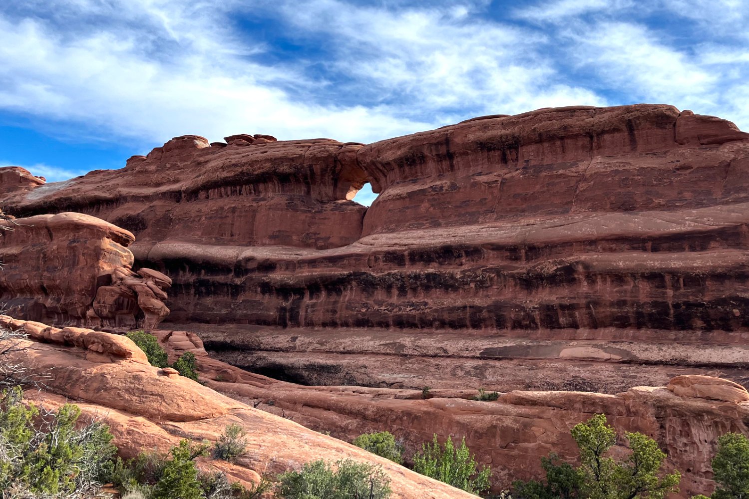
This trail was much more difficult to follow and we used Gaia maps to keep track of the trail. The last two arches aren’t too far from here and if you want to get them in without having to worry about the technical parts later on feel free to do so after Double O before heading back. First up is (8) Top Story Window Arch which is a little off trail and looks like a small diamond in a rock wall.
The last arch is (9) Private Arch. While this one had a sign at the beginning of it’s 0.3 Mile start, it was very difficult to navigate. Make sure you have your map up here. This arch was also aptly named as it was a nice quiet place to take a break before finishing the last 3 Miles of the hike. Note here that you can head back the way you came which is 2.7 Miles it is quicker and less technical than finishing the Primitive Trail.
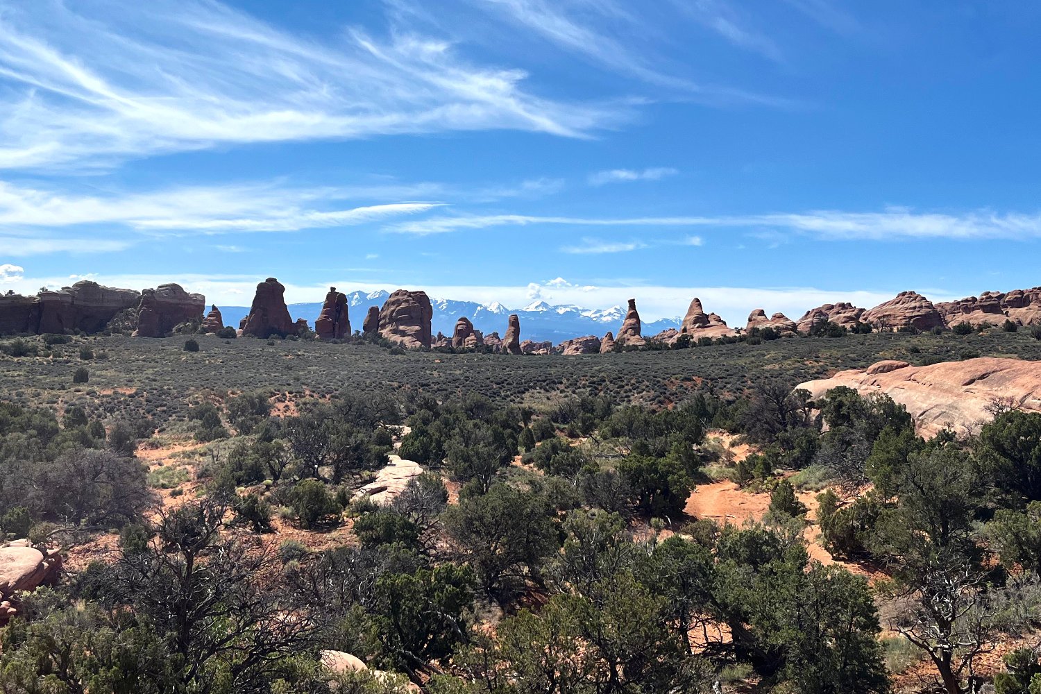
The rest of the hike was relatively easy outside of a couple parts where you have to scale rock faces with a little scrambling. Also note that the pool of water some people struggle to cross was dried up when we hiked. My favorite comes just before reaching that split near Landscape Arch were you see desert rocks jutting out of the ground with the La Sal mountains as a backdrop. If you decide not to hike the Primitive Trail, make sure you at least go the short distance from the split to get this view!
As I mentioned earlier, after the split it got really busy. There was a constant flow of people all the way back to the parking lot (200!). Once back, the entire parking lot was full and people were circling around trying to snag a parking spot.
Bonus!
We finished Devil’s Garden a little after 11AM and decided to roll the dice and see if we could get a parking spot at the Delicate Arch Viewpoint trail. This isn’t the main trailhead that lets you hike directly to it (we avoided that like the plague!). There was ample parking and our dually fit easily. I hiked a little farther than the viewpoint to get a decent view of the signature arch even though it wasn’t the main trail.
After this short hike we pulled off at a few spots on the way back to take in the views that the park has to offer. We didn't have trouble finding pull off spots for our dually which is usually an issue at other parks. Same thing with the Visitor's Center. There were ample parking spots around noon time which is unusual for a national park in our experience. We left the park around 1PM and the line to get in was about halfway to the "30 minute wait from here" orange sign. Though we could have spent the whole day here checking out the rest of the park, including Balanced Rock, we felt we had our fill and were worn out from the early morning and hikes.


